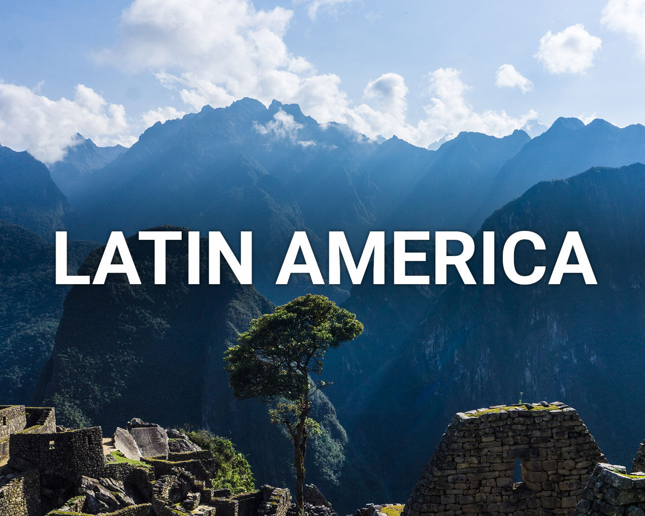
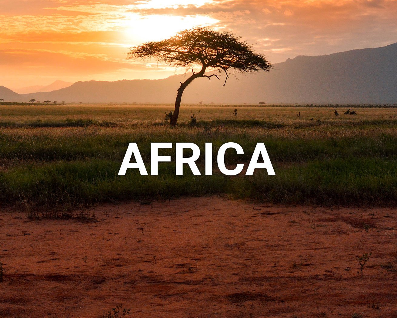
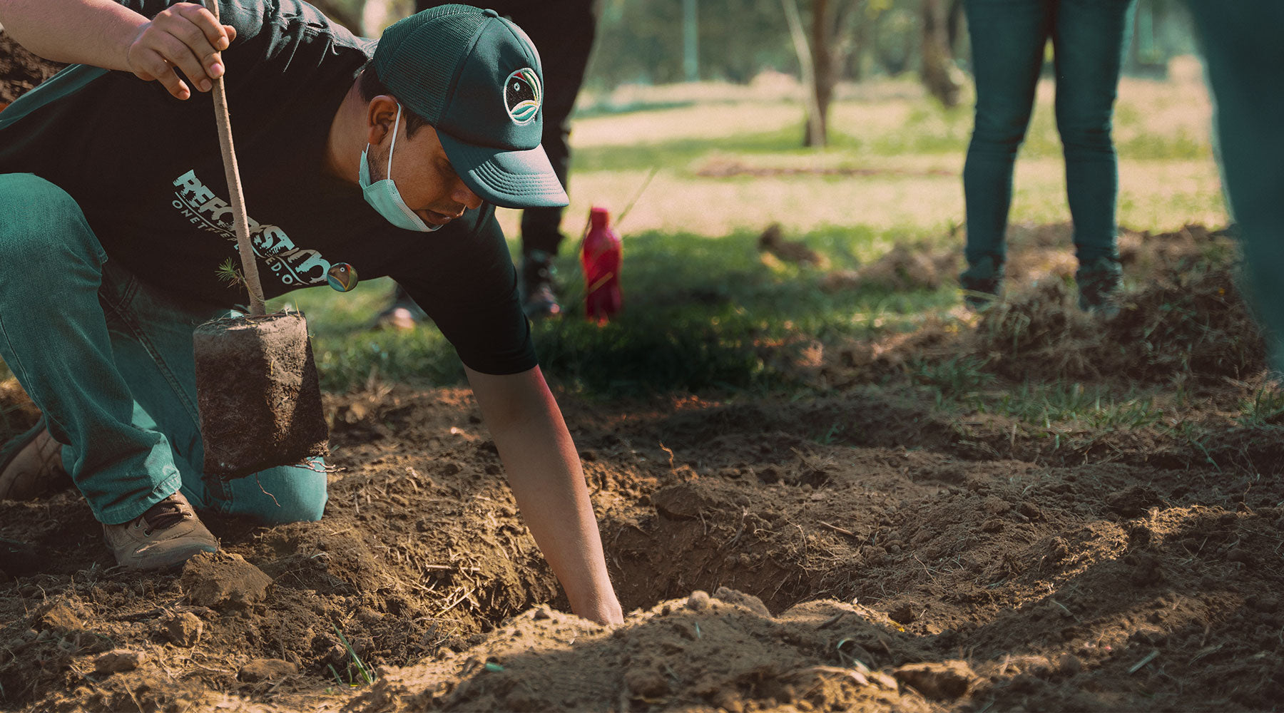
Plant Trees

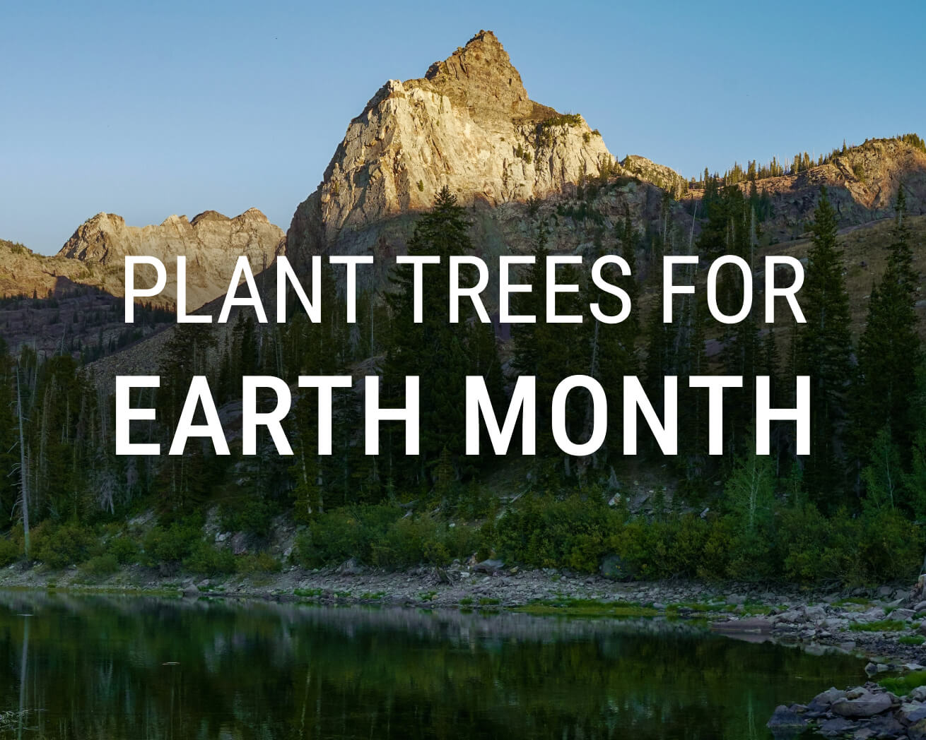
Happy Earth Month! Be the Change: Plant trees
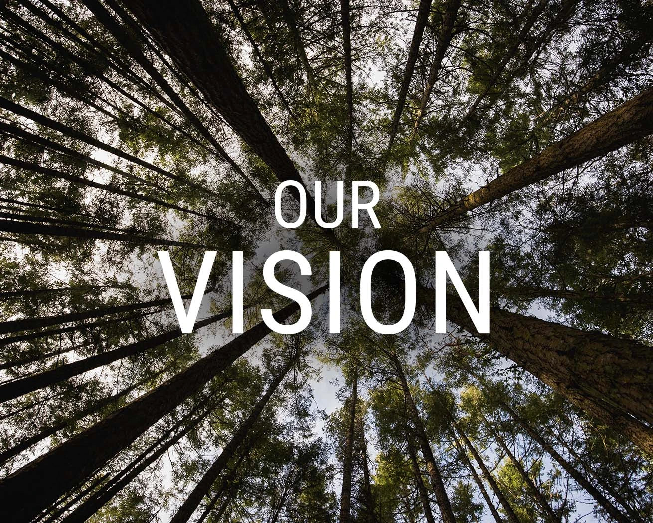
About
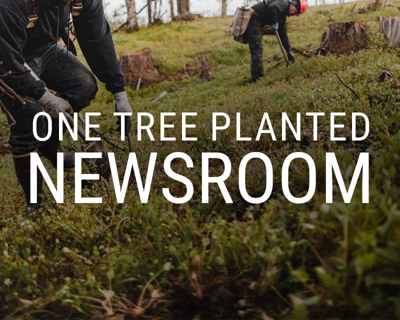


Stay up to date on major announcements, exciting collaborations, and more.Visit our Newsroom
We make it simple for anyone to plant trees, and together we can make an incredible impact. Learn more
Get Involved

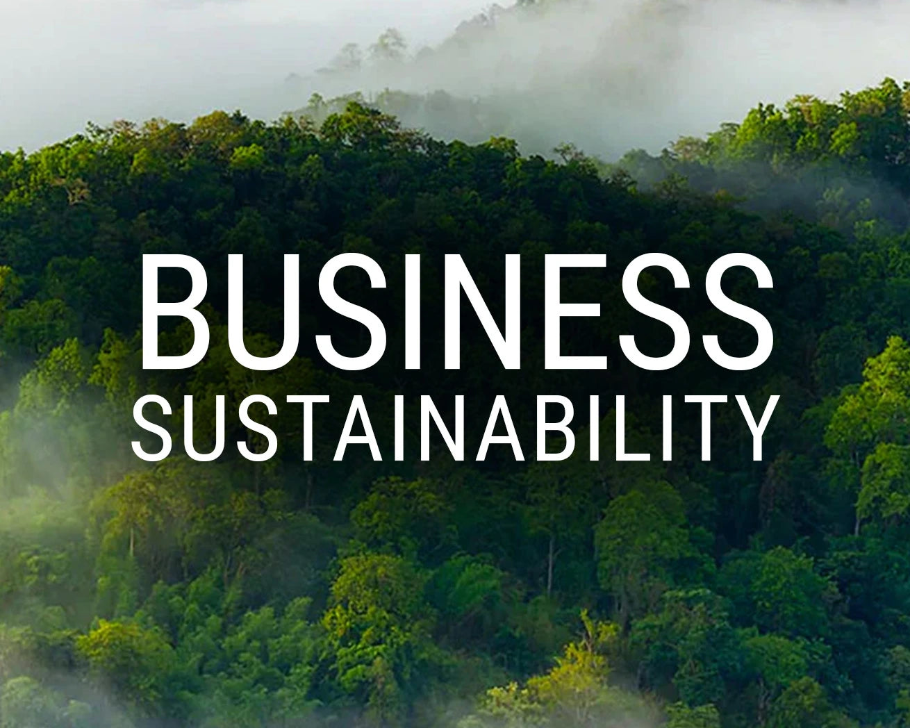

Become a business partner to improve your company’s sustainability initiatives and make an impact. Learn more
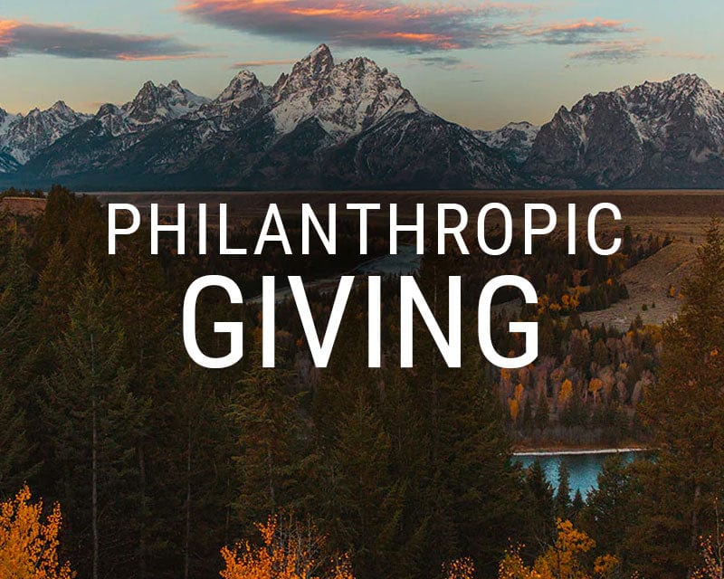
See how your support and leadership can help us fund reforestation efforts across the globe. Learn more
Learn
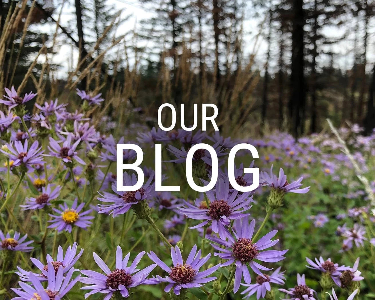


Read about stories from the field, interesting facts about trees and get your healthy dose of nature. Visit our blog
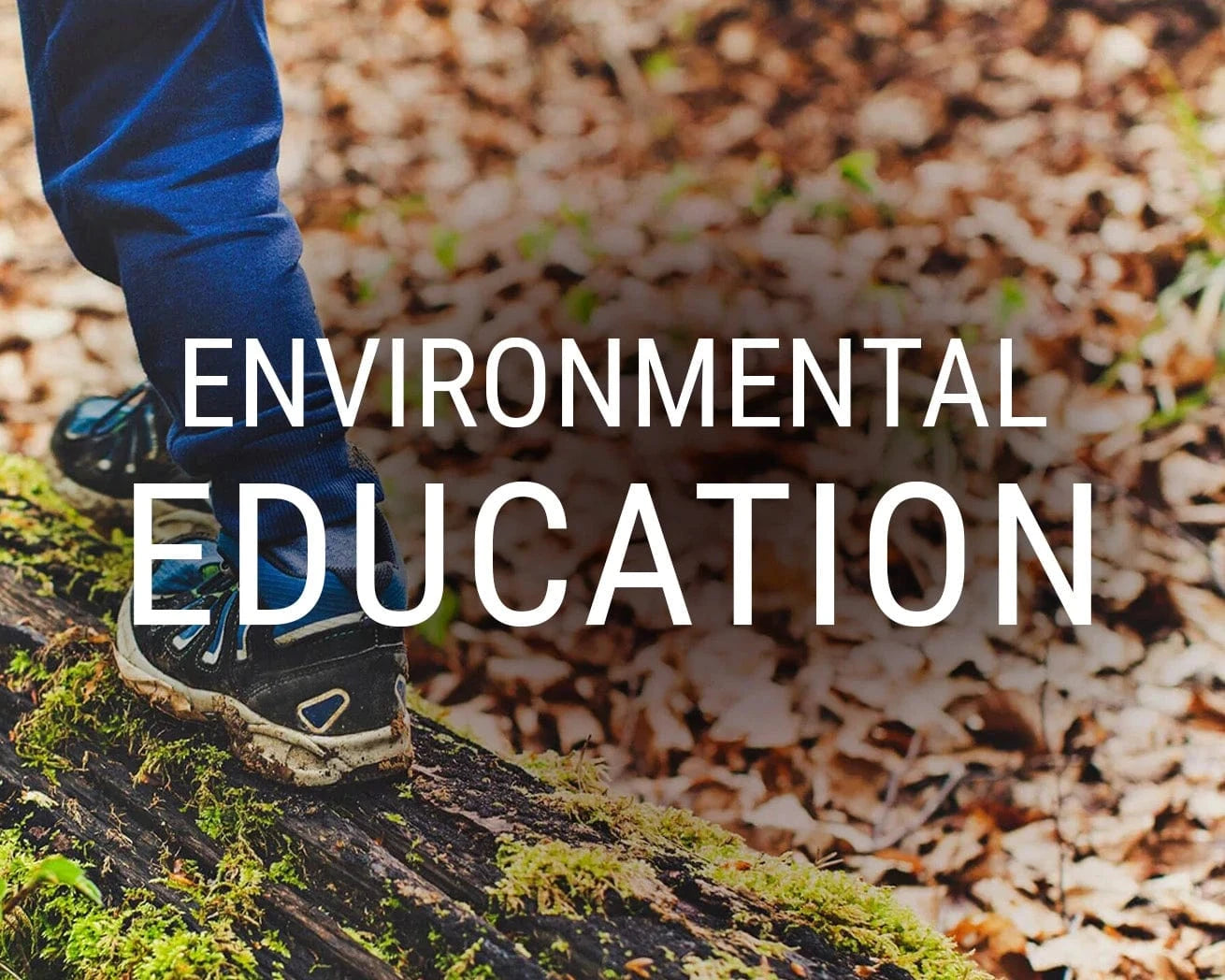
Comprised of lesson plans, learning modules, resources, and activities, our T.R.E.E.S. School Program is the perfect addition to your curriculum. Learn more
Shop
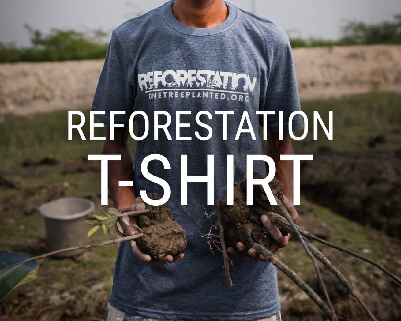
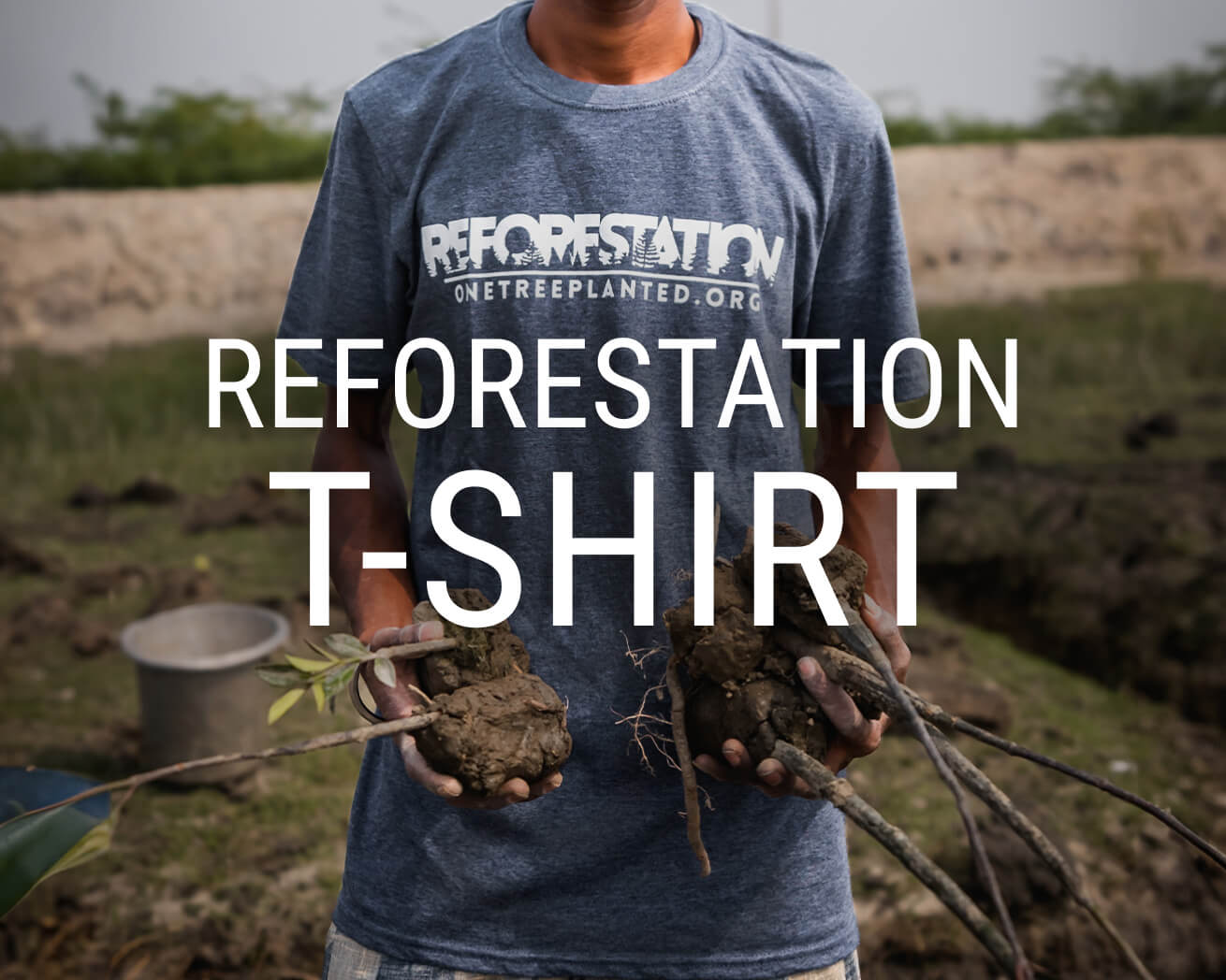

Our fan-favorite Reforestation T-Shirt. Wear it with pride to show your support of reforesting our planet, one tree at a time. Shop now
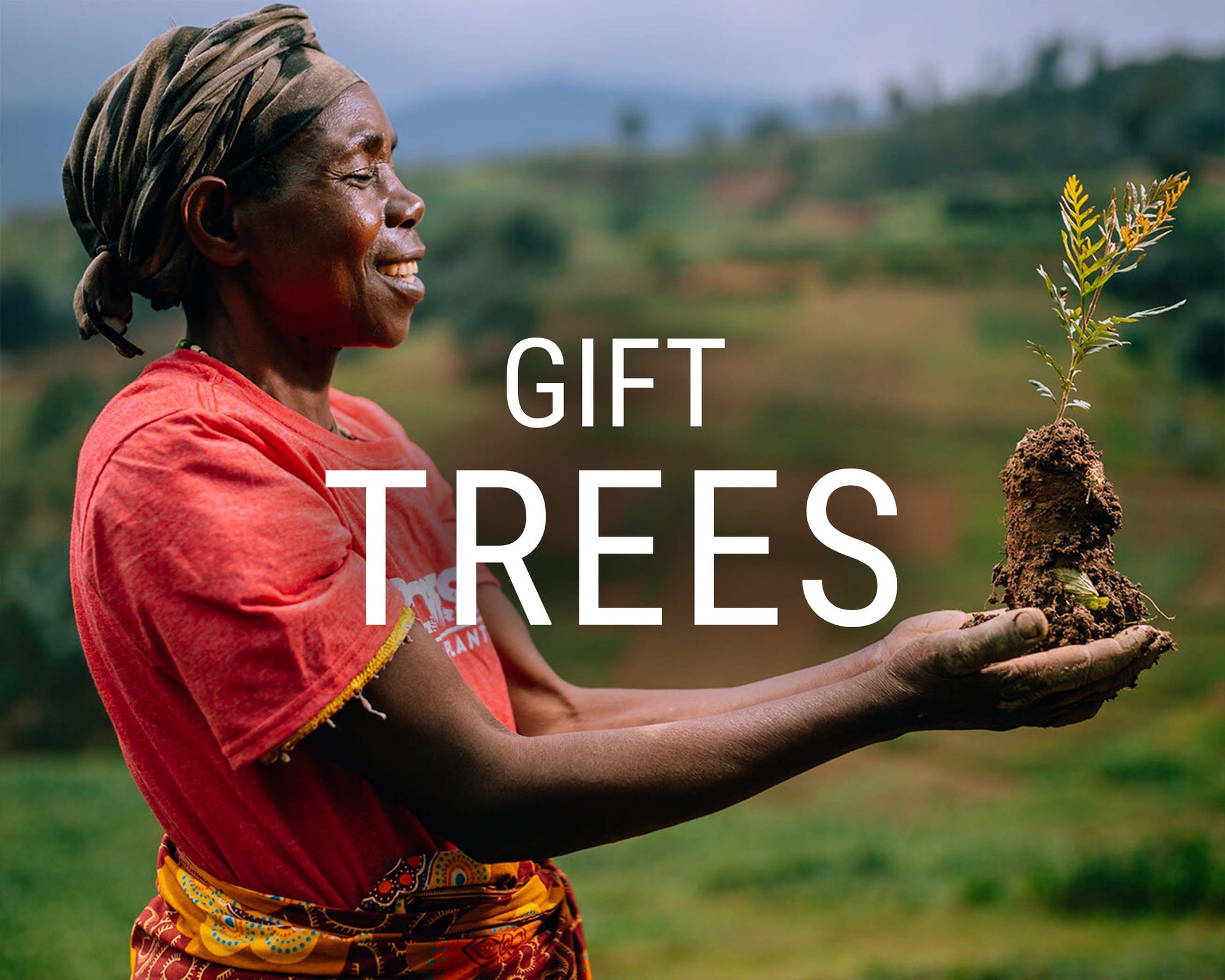
Give the gift that lasts a lifetime! Choose an image, write your personalized message and select a delivery date to gift a tree. Gift a tree

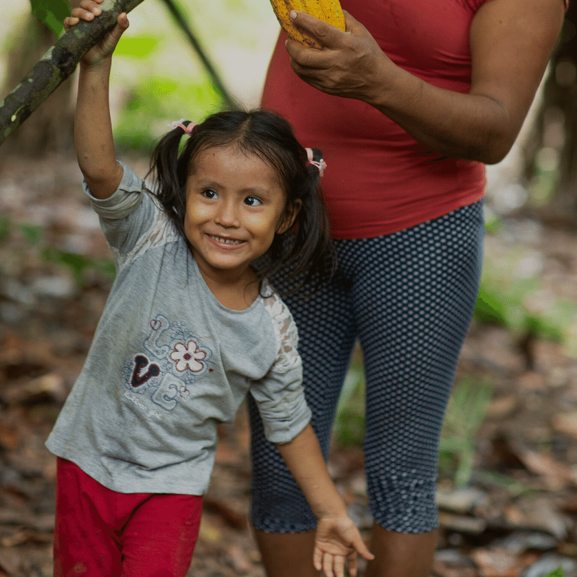
restoring ecosystems, one tree at a time
Plant Trees for a Greener Future
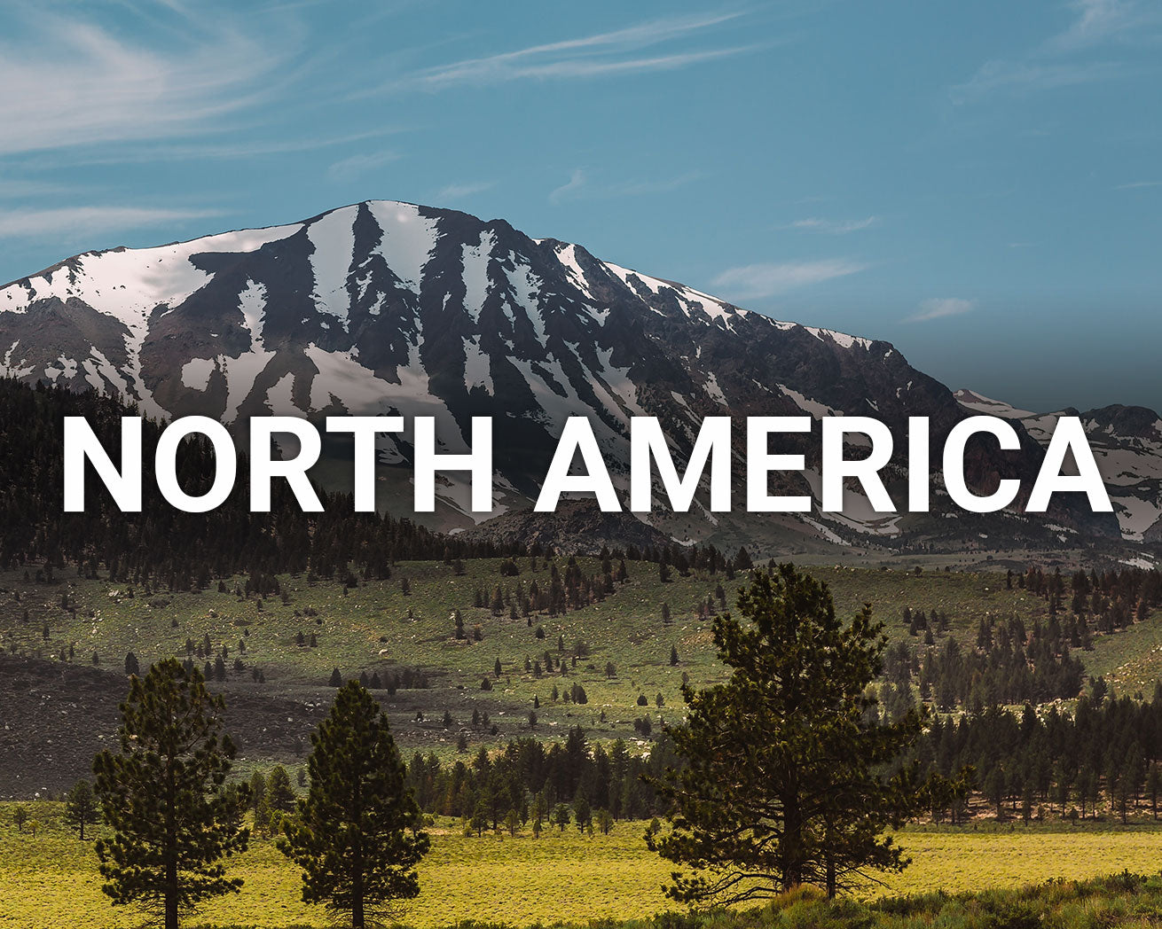
Making an impact with:


Plant Trees


This Earth Month, let's grow together
Every tree we plant tells a story of hope. Help us write that story by planting trees today!
PLANT tREEs
Sustainability for Businesses
Make a real impact and improve your company's sustainability initiatives in 2023

We are a 501(c)3 non-profit based in Vermont
Together, Planting a Forest
We make it simple for anyone to plant trees


We work with amazing reforestation partners around the world that need your support to help get trees in the ground.
Learn more about our partnerships

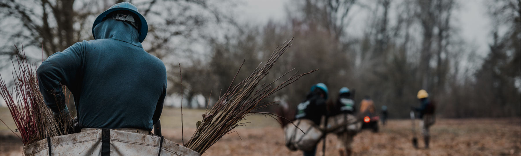
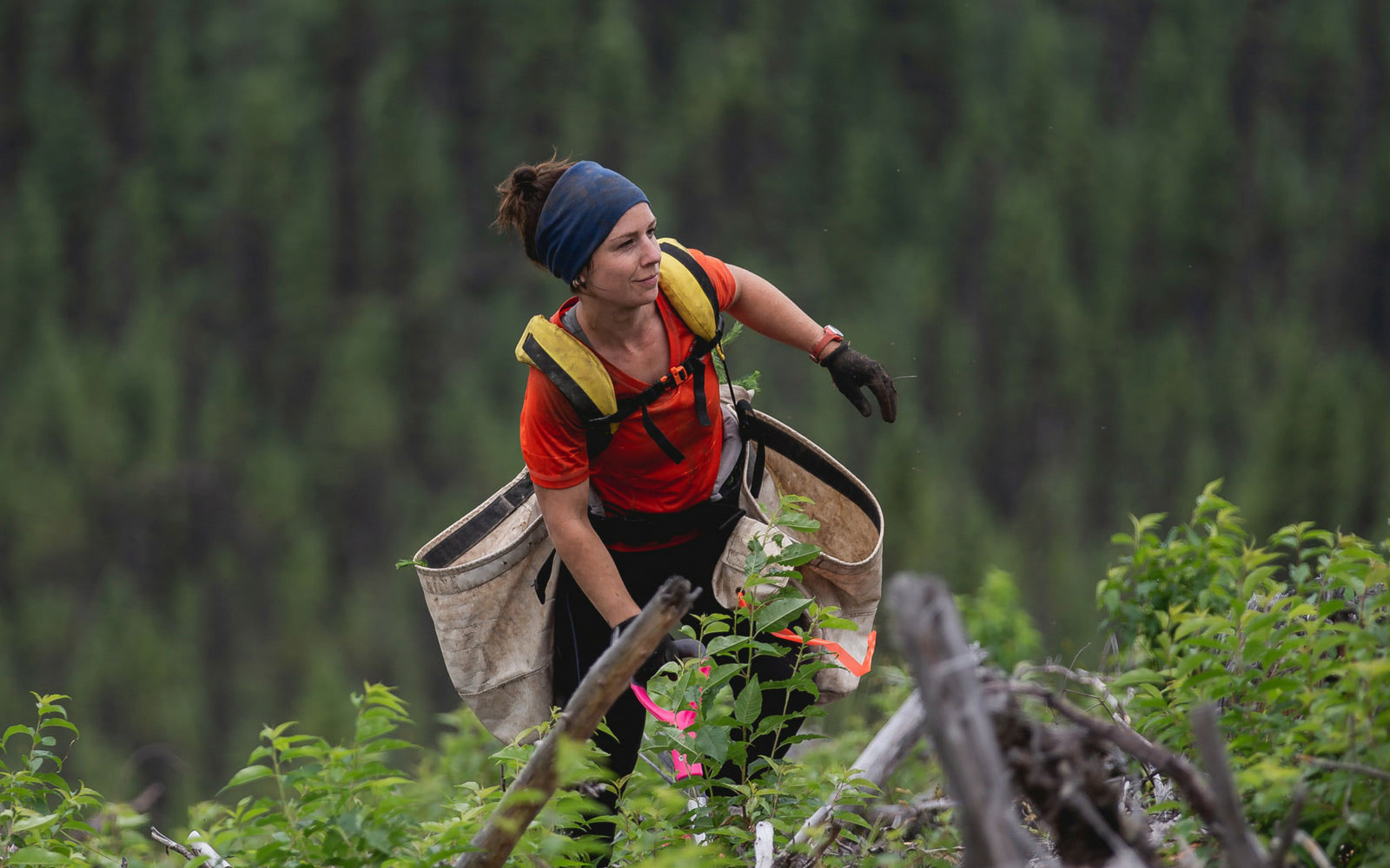
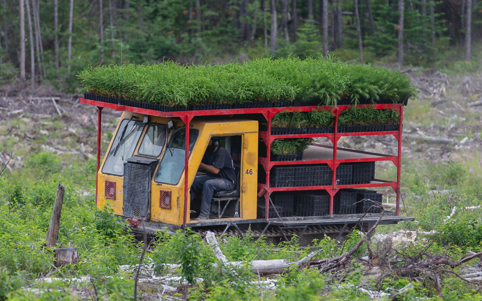
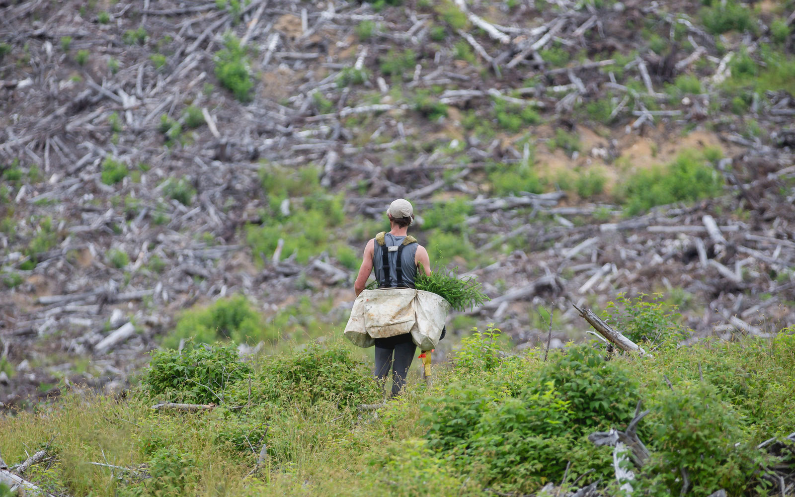
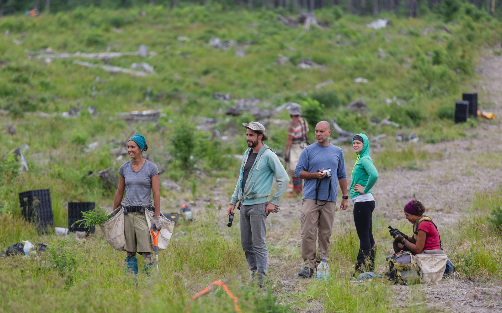
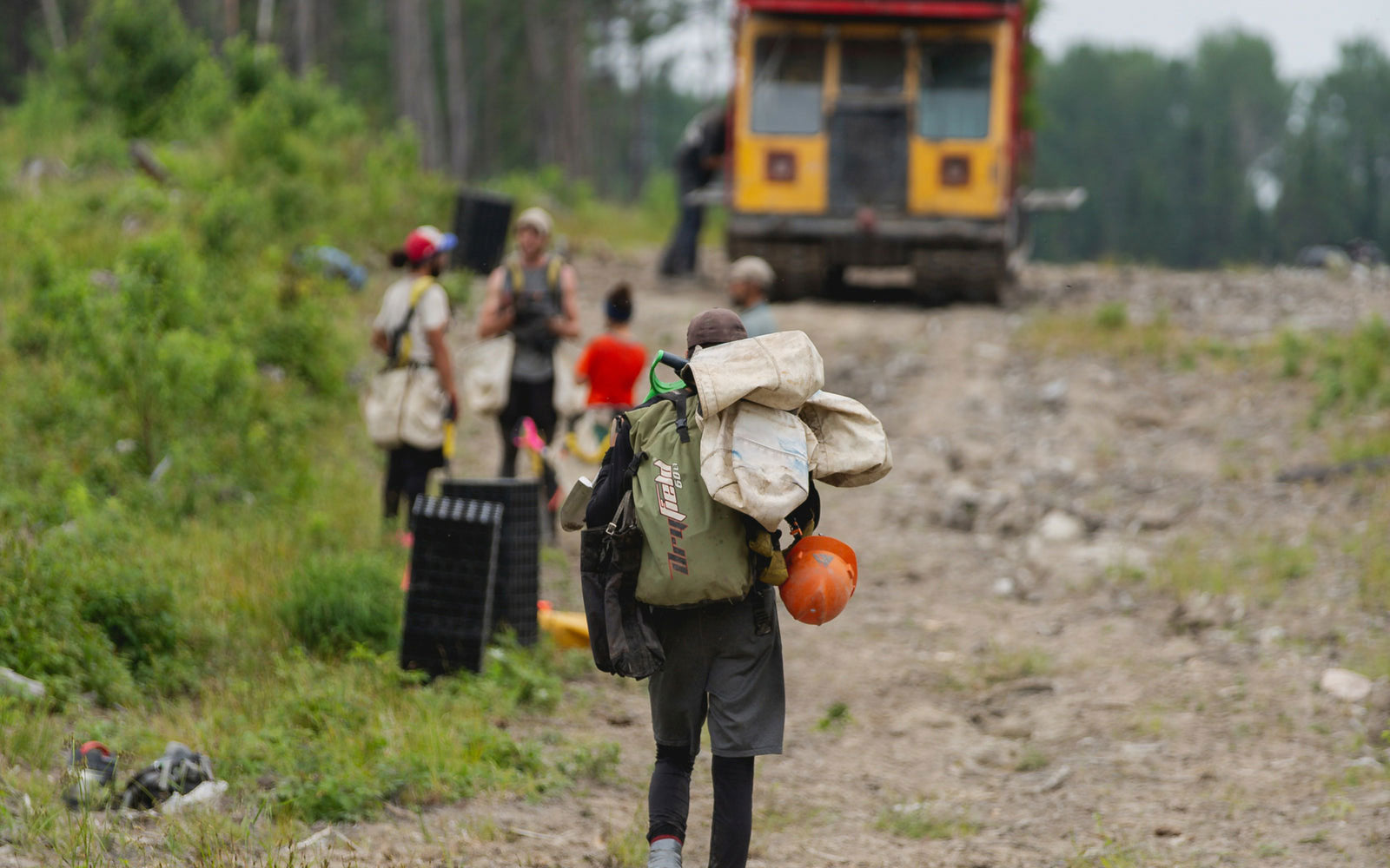
Reforestation
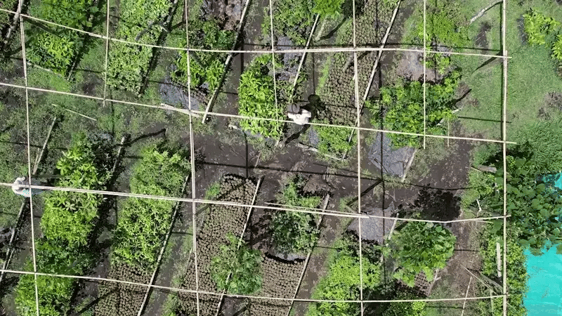
Planting trees around the world

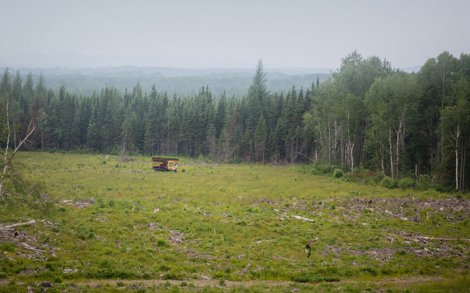
Tree Planting
25,000 trees planted in 1 day


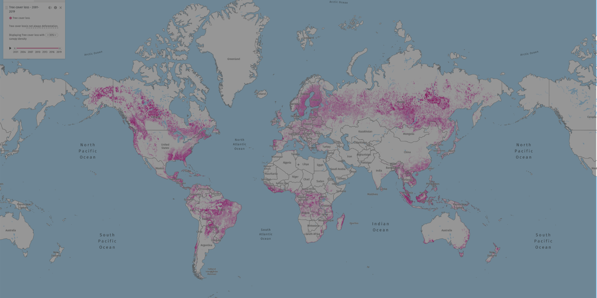
Global Forest Watch Map
Interactive Map
Pink is Forest Loss