Planting for the Next Fire
When wildfire moved through central Portugal in 2025, it did not affect every part of the landscape in the same way.
Across the Serra da Estrela, the marks left by repeated fires are hard to miss. Hillsides that once supported diverse forests have been reduced in places to open ground, dense scrub or stands dominated by a small number of commercially useful trees. Yet the newly restored area at Renature Estrela remained green.
This outcome reflects a series of decisions made long before the fire arrived: which species to plant, where to plant them, how to break up the landscape, who would manage the land and how progress would be measured.
Those decisions matter because a forest is not a collection of interchangeable trees. It is a living system shaped by species, soils, water, climate, and people. Renature Estrela shows how restoration becomes more resilient when those different parts are considered together.

A landscape shaped by fire
Serra da Estrela is Portugal's largest protected natural area, a UNESCO Global Geopark and an important watershed. It is also a landscape living with the consequences of a hotter, drier climate and a long history of rural change.
Major fires affected the region in 2013, 2017, and 2022. The 2022 fire alone burned around 22,000 hectares — roughly a quarter of the natural park. For the communities managing the communal lands, known as Baldios, the question was not simply how to replace what had been lost. It was what kind of landscape should come next.
Without deliberate investment, fire-affected land can follow two familiar paths. It may be abandoned, allowing unmanaged vegetation and fuel loads to build up. Or, it may be replanted with a fast-growing monoculture that offers a short-term economic return but remains highly exposed to future fire.
Renature Estrela created a third option: restoring a diverse mosaic that combines native maritime pine (Pinus pinaster), which can increase fire risk when grown in monocultures, with broadleaved species including oak, ash and strawberry tree (Arbutus unedo). This mixed landscape is designed to support ecological recovery while reducing fire risk over the longer term.
One Tree Planted worked with GEOTA, a Portuguese environmental organisation with more than four decades of conservation and restoration experience, to help turn this approach into action. Central to the project were the baldios of Cortes do Meio: historic common lands managed collectively by the local community, with traditions of shared grazing, forestry and land stewardship stretching back centuries.
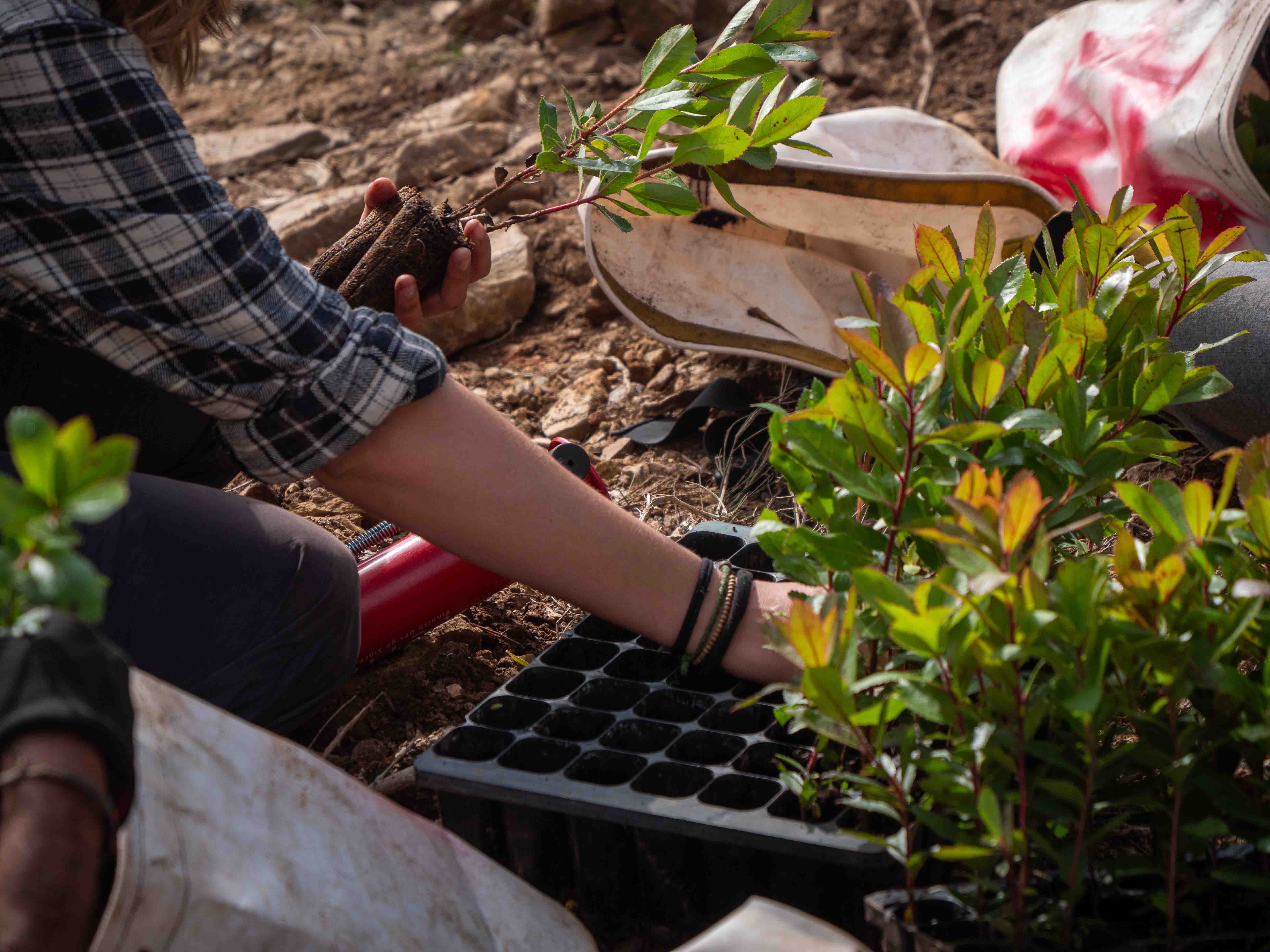
Over two planting seasons, 280,626 trees were planted across 305 hectares. One Tree Planted brought together local communities, land managers, and restoration specialists around a shared plan for the landscape. The result was not a project designed around a single planting target, but a partnership shaped by the land itself: its fire history, ecology, local uses and long-term needs. After the second planting season, EarthTrust, a third party verification partner was added to the team.
A diversity of partnerships
Just as a resilient forest depends on more than one species, restoration at this scale depends on more than one organisation.
One Tree Planted provided funding and project management, helping turn an ambitious local plan into action. GEOTA brought its conservation and restoration experience, including detailed knowledge of the ecology and fire dynamics of the country's central and southern regions.
The community responsible for the baldios of Cortes do Meio brought a long-term relationship with the land. Its members understand where livestock graze, where water moves, which areas are accessible and what maintenance will remain practical after the planting crews leave.
That knowledge shaped the project. Native species were selected for the conditions found across the site. Planting was combined with fuel breaks, pasture and areas that can be managed through grazing, cutting and controlled burning. Along roadsides and other exposed areas, species and layouts were chosen with future fire behaviour in mind.
EarthTrust added another form of expertise: independent, science-based assessment and claims verification. Its role was not to retell the project team's account, but to review the reporting, visit the site and test whether the reported outcomes could be supported.
Each partner is focused on a different part of the project. And together, they provide a more complete picture than any one of them could produce alone.
How you measure a recovering forest
A single data point such as a planting tally tells us exactly what was put into the ground. It does not tell us how many trees survived, whether they are growing as expected, whether vegetation is recovering across the site, or whether the landscape under restoration is becoming more resilient.
Answering those questions requires several kinds of evidence.
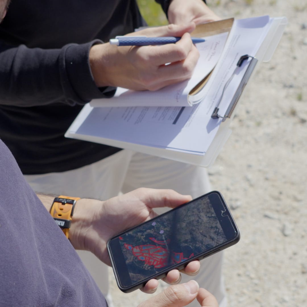
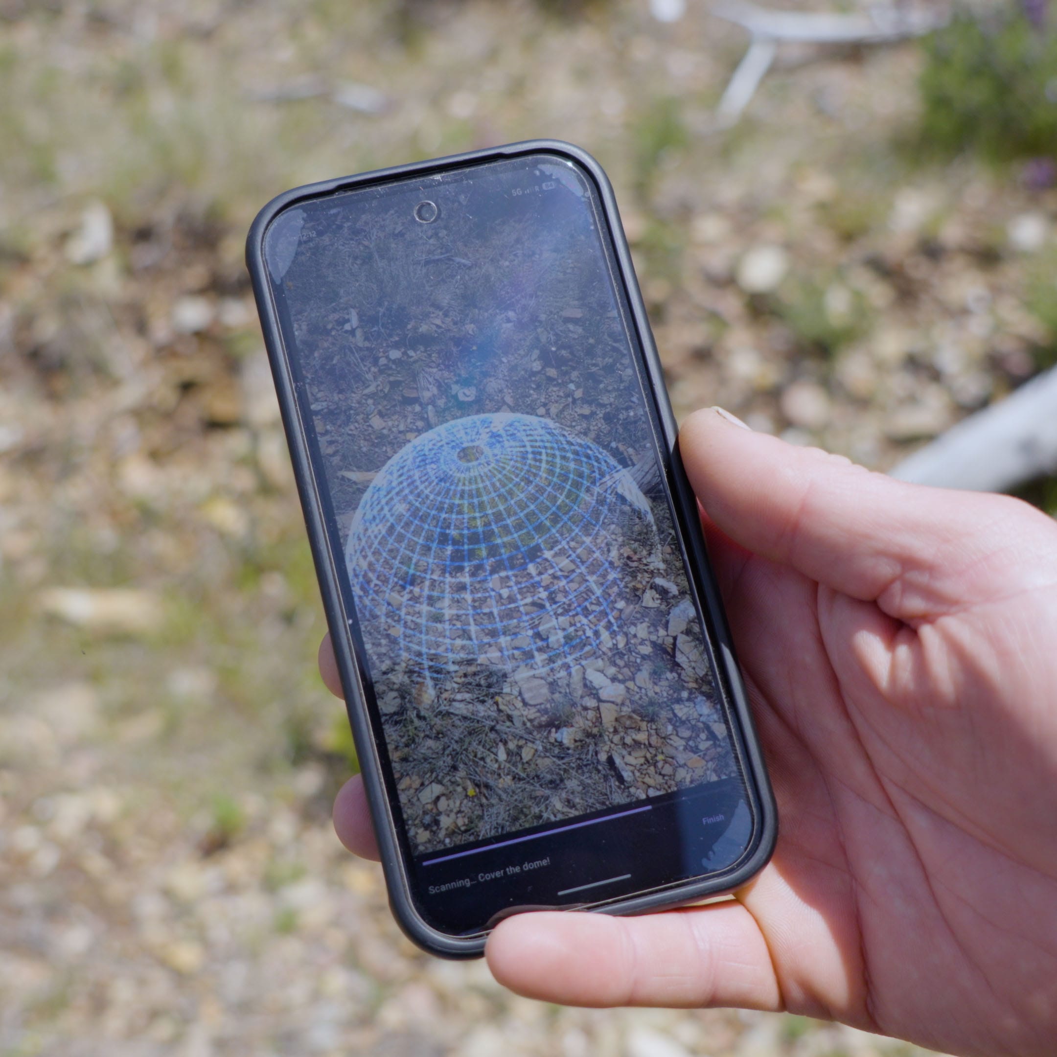
The Baldios and project team provide field observations on survival, tree health, maintenance and the condition of individual planting areas. Geotagged photographs and site records show what is happening on the ground and capture details that cannot be read reliably from space. Repeat drone imagery can add a consistent, high-resolution record of canopy development, gaps and vegetation conditions across individual planting areas.
Satellite imagery provides a wider view. It can confirm where planting took place, track changes in vegetation conditions, and show how the project sits within the surrounding landscape. Following the 2025 fire, satellite data also made it possible to compare the mapped fire extent with the restored area.
Above-ground biomass data provides another layer, helping track changes in woody vegetation over time. This is particularly useful across a large and topographically difficult site, where comprehensive field measurement would be costly and slow. But this type of data is unable to distinguish between the planted trees and those naturally regenerating and therefore needs ground-truth data to provide context.
Finally, third-party verification brings independence. During EarthTrust’s site assessment, field evidence was checked against project records and geospatial data. Agreement between these sources strengthened confidence in the findings, while differences highlighted questions for further investigation. EarthTrust’s May 2026 survival results were within five percentage points of GEOTA’s earlier monitoring results in 10 of the 11 plots assessed, providing tangible assurance that the field data were broadly consistent across monitoring cycles.
As a further check on the above-ground biomass data described earlier, EarthTrust reviewed analysis from Chloris Geospatial, a provider of satellite-based forest carbon and biomass data. The analysis found that biomass across the site had more than doubled since the low point following the 2017 fire, while finding no visible impact from the 2025 wildfire within the monitored parcels. This provides an independent line of evidence that the landscape is recovering and that the restored area remained resilient as fire affected the surrounding landscape.
This is the value of combining evidence. A satellite image can show where vegetation is changing, but it may not explain why. A field photograph can show a healthy young tree but that says little about the other 305 hectares. Biomass data can reveal a trend without identifying the management decision behind it. Each source has limits; together, they are much more useful.
Independent verification is often described mainly as a way to provide assurance to donors. Organisations supporting restoration should be able to see credible evidence of what their funding supported and the long term positive benefits of restoration… But verification also helps those managing the forest understand why the project is, or is not, developing as expected.
At Renature Estrela, the evidence does more than confirm that trees were planted. It records the choices made across the site and allows those choices to be compared with later outcomes. Which species established most successfully on exposed slopes? Where did ground preparation make a difference? How did areas with active fuel management respond when fire reached the surrounding landscape? What should be changed before the next planting or maintenance cycle?
These are practical questions. Their answers can inform how the Baldios manage this site, but they can also improve restoration elsewhere. The conditions will never be identical, and the model should not simply be copied from one landscape to another. What can be transferred is the approach: combine local knowledge with ecological expertise, design for the risks the forest will actually face and collect enough data to learn from the result.
A living record of restoration
Forests hold a record of the decisions made during restoration. Species selection, planting density, site preparation, grazing, fire management and maintenance all leave their mark. Monitoring allows us to read that record and a well-designed data ecosystem allows us to keep it organized and ready for enquiry in the future.
For Renature Estrela, that means linking what was planned and planted with what is observed later; project boundaries, species and planting records, field observations, geotagged photographs, satellite imagery, biomass estimates, maintenance activities and independent verification. Kept together and updated over time, these are not separate reporting products. They form a living record of how the landscape is changing.
Each new project and each new monitoring cycle adds to something much larger: a growing database of life across One Tree Planted’s projects. By bringing together field observations, drone and satellite imagery, biodiversity data and management records, OTP moves beyond verifying that activities took place and towards verifying the impact they achieved. Over time, this evidence can reveal which species, interventions and maintenance decisions work best under different conditions, where projects need additional support and how future funding can achieve greater impact.
The restored area that remained green as fire moved through Serra da Estrela in 2025 was an encouraging sign, but it was only one observation within a much longer record. Continued monitoring will show whether that resilience holds through future fires, droughts and changing conditions, while adding to a global evidence base that can guide restoration elsewhere. The ambition extends far beyond restoring a single forest: it is to build a living record of restoration that helps One Tree Planted create stronger, more fire-resilient landscapes around the world.